
Maywood ZIP Directory Coverage
Official USPS material identifies 60153 as Maywood's main delivery code and also carries a Maywood-area relationship with 60155. The other codes below are boundary controls, not extra Maywood ZIPs. They help explain why a nearby parcel, an old joint directory, or a search result may point toward Broadview, Bellwood, Forest Park, or Melrose Park.
| ZIP Code | Areas Covered | Post Office | Notes |
|---|---|---|---|
| 60153 | Primary Maywood delivery area | Maywood Post Office | Postal area, not the Village boundary; verify ZIP+4. |
| 60155 | Maywood-area routing and nearby Broadview | Broadview Post Office | Boundary and alias check; may be outside Maywood. |
| 60104 | Bellwood comparison area | Bellwood service area | Use only when the exact address lookup returns it. |
| 60130 | Forest Park comparison area | Forest Park Post Office | Neighboring postal geography. |
| 60160 | Melrose Park comparison area | Broader Proviso geography | Combined historic directory titles can use Melrose Park. |
The verified Maywood-serving set is 60153 and 60155. No official source in the research identified a Maywood PO-box-only code, unique institution code, split year, or stand-alone municipal ZIP boundary map. That gap matters. Use the USPS address-level result with CookViewer or the Village map whenever the code is disputed.
Maywood 60153 Postal Anchor
The Maywood Post Office is at 415 S. 5th Avenue, Maywood, Illinois 60153-2086. Its listed retail hours are generally 9 a.m. to 5 p.m. weekdays and 9 a.m. to noon Saturday, with phone service at 708-344-4246. The office is a useful anchor for postal facts, but its city label does not establish the Village line.
The official USPS location screen below provides the postal source for the Maywood ZIP code directory.
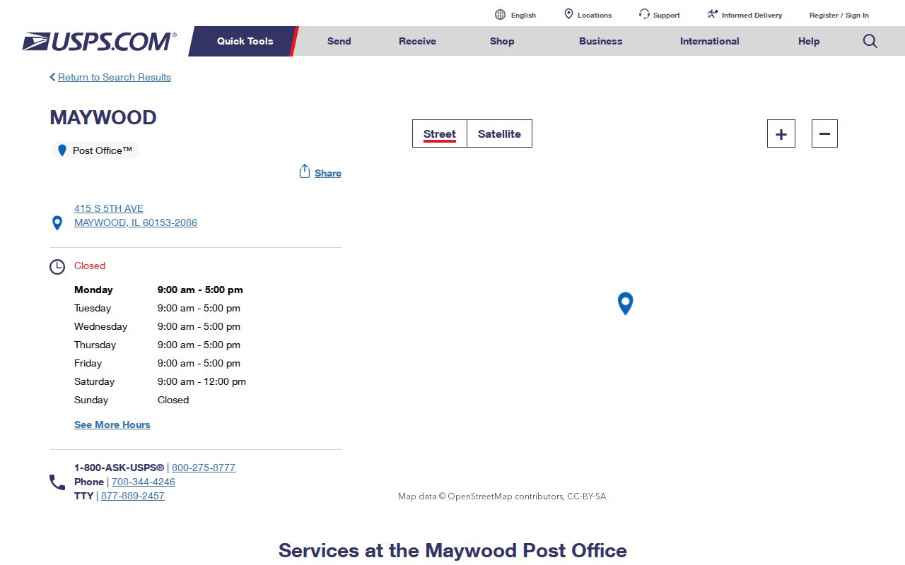
The screen confirms the facility and mailing code. A specific home still needs address-level ZIP+4 verification.
Note: Save the full USPS return, including delivery city and ZIP+4, instead of copying only the five-digit code.
Why Maywood 60155 Needs Proof
The USPS Postal Bulletin routing table carries 60153 and 60155 in Maywood-area material. USPS also identifies the nearby Broadview office at 2131 S. 17th Avenue, 60155-3081. That makes 60155 a routing and boundary question, not automatic proof that an address lies in the Village of Maywood.
This USPS routing screen shows the postal relationship used in the ZIP code directory.
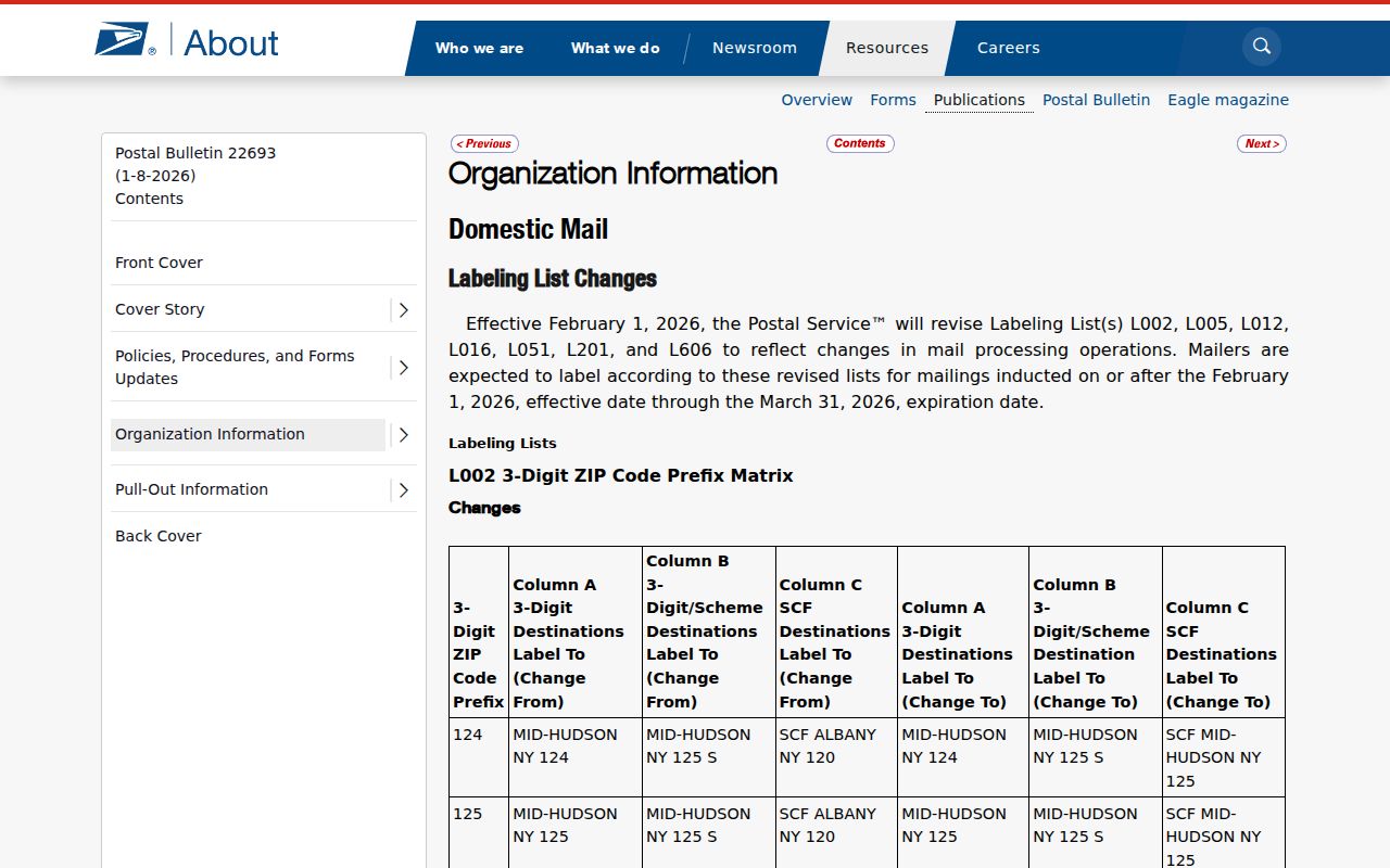
The routing evidence should be paired with a parcel map or legal description before assigning municipal jurisdiction.
Build a Maywood ZIP Record
A clean address card keeps postal, parcel, and historical facts apart. This is especially useful near Broadview, Forest Park, Melrose Park, River Forest, Bellwood, and adjacent unincorporated areas. Write down the source and search date for each field.
- House number, direction, street, suffix, and unit
- USPS delivery city, five-digit ZIP, and ZIP+4
- Cook County PIN and legal description
- Village or other municipal jurisdiction
- Historical address spelling and record year
When fields disagree, preserve all versions. The disagreement may signal a postal alias, boundary edge, old street form, or search-format issue. It is not proof that the record is missing.
Historical records need one more field: the year in which the address was printed. A Maywood city directory, Sanborn sheet, or census enumeration district may use an older street form and no modern ZIP at all. Keep that original text beside the current USPS result. The railroad corridor, Des Plaines River, and old parcel pattern can help place the address without forcing a present-day postal code onto it.
Find Maywood Residents by ZIP
No official portal found in the research publishes a free list of all people in a Maywood ZIP. USPS verifies delivery codes. The Cook County property portal uses ZIP as one address field. Illinois voter lookup uses ZIP as an identity prompt for a person's own registration, not as a ZIP-wide roster. CookViewer and the Assessor work from address, street, PIN, intersection, or map position rather than a standard ZIP filter.
- Enter the full address in USPS ZIP lookup and save the delivery city and ZIP+4.
- Search the Cook County property portal with house number, street, city, and required ZIP. Retry 60153 or 60155 only when official postal evidence supports it.
- Use CookViewer by address, intersection, PIN, or map click to select the right parcel and municipal geography.
- Use Illinois voter lookup only to check a known person's current registration with the required identity prompts.
Once the ZIP search resolves to a named street, the Maywood by-street search explains the address and parcel chain in full. A ZIP narrows the search area, but it never replaces a verified street address or PIN.
Maywood ZIP Search Controls
Each official tool treats a ZIP differently. Use the code only for the role the source assigns it.
| Official source | ZIP control | What it returns |
|---|---|---|
| USPS | Full address to ZIP+4 | Delivery city, exact code, and postal context |
| Cook County property portal | Required with number, street, and city | Parcel, tax history, mail, and document links |
| Illinois voter lookup | Required identity prompt | Current registration and polling match |
| Assessor and CookViewer | No standard ZIP-wide filter | Address, street, intersection, PIN, or mapped parcel |
| Village document request | No ZIP-wide mode | Defined maps, permits, code, or address records if held |
A failed property search should be retried with the USPS-confirmed code, then checked independently in CookViewer. Do not conclude that a Maywood parcel is absent merely because one ZIP guess fails.
Maywood ZIP and Voter Records
The Cook County voter registration page covers suburban Cook County, including Maywood. Illinois's public lookup asks for first name, last name, date of birth, and ZIP, then may ask for street details. The code helps verify one known registrant. It does not produce a list by ZIP code.
The official Cook County registration screen below represents that access route.
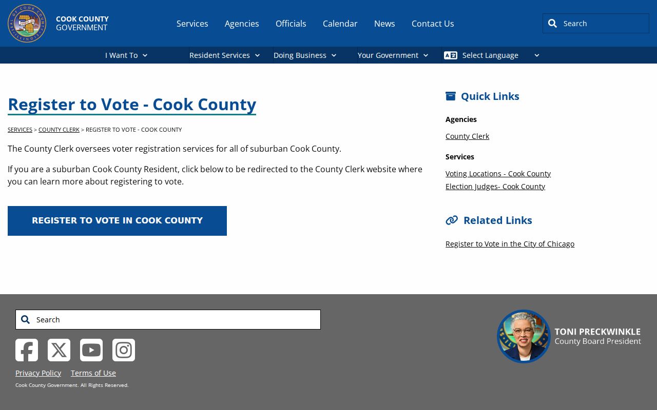
The registration page is a civic-service source, not a residents directory. Restricted statewide files have separate permitted-use rules and do not turn ZIP geography into a public household roll.
Maywood ZIP and Village Limits
USPS controls delivery labels. Maywood controls local maps, zoning, and permits. Cook County GIS and the Assessor tie parcels to PINs, while Census assigns statistical areas. Those boundaries serve different jobs and do not have to match. A Maywood mailing label can reach an address outside the Village, and a nearby postal label can appear near a Maywood parcel.
Use USPS only for delivery. Use CookViewer, the Village map, or the parcel's legal description for jurisdiction. A Census ZCTA is a statistical approximation of a ZIP area, not the postal route itself. Historical census enumeration districts and old directory addresses also need map and year context.
If CookViewer and USPS disagree, ask the Village for a date-specific map, permit, zoning, or address record through its document center or a narrow Illinois Freedom of Information Act request. County GIS and Assessor staff are further counter, phone, or email fallbacks. For an old address, the Maywood Public Library, Library of Congress maps, NPS bibliography, and Census or NARA collections can bridge the gap. No single source controls all layers.
- ZIP versus ZIP+4
- A five-digit delivery area versus the more precise four-digit add-on for a delivery segment or address group.
- PO-box ZIP
- A code used mainly or only for post-office boxes. No Maywood-only example was verified.
- Unique ZIP
- A code assigned to one high-volume organization. No Maywood example was found.
- Carrier route
- A postal delivery path within a ZIP, not a municipal or parcel boundary.
Boundary check. Never infer Maywood jurisdiction or current occupancy from a ZIP alone. Confirm the parcel, municipality, and source date.